Understanding the Definition and Use of Shapefiles
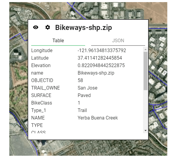
A shapefile is a widely-used file format for storing and displaying geographical data. It generally includes lines, points, polygons, and polylines that represent different features on a map. Each shapefile is made up of at least three files – .shp, .shx, and .dbf, which contain the actual geometry data, an index to locate the … Read more
