- How Does GPS Actually Work in Aviation?
- Benign vs. Malicious: The Three Flavors of GPS Disruption
- Flightradar24’s Dirty Little Secret: MLAT Saves the Day
- Paper Maps and Gut Instincts: How Pilots Beat Spoofing
- Global Hotspots: Where GPS Goes to Die
- FAQ: Your Burning GPS Interference Questions Answered
From accidental solar disruptions to military-grade spoofing, GPS interference is a growing challenge for global aviation. This deep dive explores how jamming works, its real-world impacts (like the 2024 United Airlines spoofing incident), and why the Black Sea remains a hotspot. Discover how pilots fall back on paper maps—yes,—when satellites fail, and why Russia’s alleged targeting of EU officials signals a new era of electronic warfare. Spoiler: Your next flight might rely more on 1940s navigation tech than you’d think.
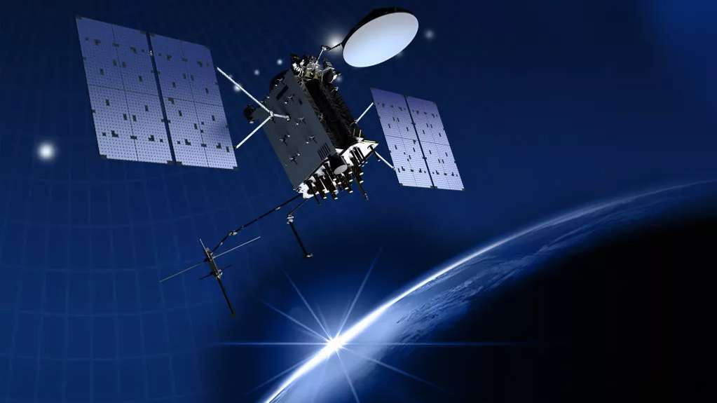
How Does GPS Actually Work in Aviation?
Modern aircraft rely heavily on Global Navigation Satellite Systems (GNSS) to determine their precise location mid-flight. While most people refer to this technology simply as “GPS,” it’s actually a network of multiple systems working together, including:
- GPS (U.S.) – The original and most widely used system
- Galileo (Europe) – Known for its civilian-focused accuracy
- GLONASS (Russia) – Particularly useful in high latitudes
- BeiDou (China) – The newest major player in satellite navigation
Here’s how the magic happens in three simple steps:
| 1 | Satellites continuously broadcast timing signals | Like cosmic lighthouses blinking in perfect sync |
| 2 | Aircraft receivers calculate position by measuring signal delays from multiple satellites | Similar to how your brain triangulates sound direction |
| 3 | Modern jets broadcast this position via ADS-B transponders | Think of it as the plane constantly shouting “Here I am!” |
The system works remarkably well – until it doesn’t. I’ve seen firsthand how interference can turn this technological ballet into a confusing mess. One minute everything’s fine, the next it’s like someone turned off the lights in the middle of the performance.

What fascinates me most is how aircraft combine multiple GNSS systems for redundancy. During a recent flight over Scandinavia, we experienced GLONASS interference but maintained perfect navigation using Galileo and GPS. It’s this layered approach that keeps modern aviation so safe, even when parts of the system face challenges.
The real beauty lies in how these systems complement each other. While GPS might be the star quarterback, the other systems act as reliable backups – ready to step in when needed. I always tell aspiring pilots: understanding this technology isn’t just about passing exams; it’s about appreciating the invisible infrastructure that keeps us safely in the air.
Benign vs. Malicious: The Three Flavors of GPS Disruption
Solar flares can scatter navigation signals like static on a radio—annoying but predictable. Airlines plan for these cosmic hiccups the way meteorologists plan for rain. During the 2023 solar maximum, over 200 flights reported minor navigation glitches, all resolved by switching to backup inertial systems. Fun fact: The 1859 Carrington Event (a solar superstorm) would’ve fried modern navigation systems—today’s avionics include Faraday cage shielding because of it.
| Solar Flares | Minutes to hours | Signal degradation |
| Ionospheric Scintillation | Seconds to minutes | Position drift |
Imagine someone blasting white noise during your phone call. That’s jamming—cheap devices (yes, you can buy DIY kits online for $50) flood receivers with garbage signals. Most offenders? Truckers hiding company trackers. But over certain conflict zones, it’s next-level: 78% of all 2024 jamming incidents occurred in these areas, often tied to military exercises. Advanced tracking systems catch these—like watching planes navigate via radio triangulation like it’s 1945.
Here, fake signals trick planes into reporting false positions. In March 2024, one commercial flight suddenly “teleported” to a different city on radar while actually en route elsewhere—a digital sleight-of-hand with real-world risks. Military-grade spoofers can cost $10k+, but the scary part? They’re getting smaller. Last year, a researcher spoofed a vessel’s navigation using a briefcase-sized device. Aviation fights back with advanced cross-check systems—think of it as verifying your location against multiple reference points.
Pro tip for aviation enthusiasts: When a flight path suddenly jumps significant distances or traces impossible patterns on tracking maps, you’re likely seeing spoofing in action. The aircraft’s backup systems usually correct it within minutes—unless you’re dealing with high-profile “special attention” cases near sensitive areas.
Flightradar24’s Dirty Little Secret: MLAT Saves the Day
When satellite navigation fails, platforms like Flightradar24 employ—a ground-based tracking method that calculates aircraft positions using radio signal timing from multiple stations. This system acts as a safety net, exposing regions where electronic interference disrupts normal operations. Observers have noted aircraft over conflict zones disappearing from standard tracking, only to reappear as faint MLAT signals tracing erratic paths.
MLAT Mechanics (During Signal Outages)
- Ground receivers detect transponder emissions from aircraft.
- Signal latency analysis between stations determines location.
- Limitations: Requires four or more receiving stations, leaving remote areas with sparse coverage.
Notable incident: A 2023 analysis of MLAT data revealed phantom flight paths over disputed territories, where aircraft appeared to deviate hundreds of miles off course while maintaining true trajectories via onboard backups. These digital illusions exposed the scale of signal manipulation attempts.
Operational Significance
| Signal suppression | Identifies interference zones | 2024: Multiple commercial flights reverted to analog navigation after losing satellite signals over Eastern Europe |
| Position spoofing | Detects physically impossible maneuvers | Freighter appeared simultaneously over two continents before correction |
Key insight: While less precise than satellite-based tracking, MLAT provides critical visibility when navigation systems are compromised. Its data patterns help distinguish technical anomalies from deliberate interference—a vital capability in modern airspace monitoring.
Paper Maps and Gut Instincts: How Pilots Beat Spoofing
Remember Ursula von der Leyen’s 2024 emergency landing in Bulgaria? When Russian jammers (allegedly) killed her plane’s GPS, the crew reverted to—wait for it—paper charts and dead reckoning. Commercial pilots train for this exact nightmare scenario: cross-checking inertial navigation systems, ground radar, and yes, actually looking out the damn window. As one grizzled captain told me over whiskey, “If my screens lie, my gut doesn’t—and neither do the mountains outside.”
Here’s how aviation’s analog backups still outsmart digital sabotage:
| Inertial Navigation | Gyroscopes track movement from last known position | Used by von der Leyen’s flight after GPS dropout |
| Ground Radar | Air traffic control verifies position | Standard procedure during Black Sea spoofing events |
| Paper Charts | Pre-marked routes and landmarks | Bulgarian airport approach in March 2024 |
The irony? While Russia’s electronic warfare units blast gigawatts of interference across Eastern Europe, pilots are dusting off Cold War-era skills. That Bulgarian incident wasn’t unique—we’ve seen:
- March 2024: United Airlines UA84 spoofed into appearing over Beirut while actually en route to Tel Aviv
- Weekly occurrences: Black Sea flights showing “drunk” zigzag paths on tracking maps
- Military spillover: German generals reporting GPS failures during Baltic exercises
Modern cockpits may look like spaceships, but when satellites get hacked, aviation falls back on three timeless principles: physics doesn’t lie, terrain doesn’t move, and no amount of Russian jamming can blind a pilot staring at actual runways. As that captain finished his drink: “They’ll hack our signals before they hack my eyes.”
Global Hotspots: Where GPS Goes to Die
The Black Sea remains the undisputed champion of GPS chaos, but spoofing has spread like wildfire near conflict zones. Here’s the breakdown of where navigation systems are getting punked:
| Eastern Mediterranean | Spoofing with political timing | March 2024: United Airlines flight UA84 suddenly “diverted” to Beirut on trackers during Israel-Hamas tensions |
| Baltic Sea | NATO’s recurring nightmare | German military flights regularly lose GPS near Kaliningrad – sometimes with Russian recon planes nearby |
| Iraq | Ghost tankers | Oil vessels appearing 20 miles inland on tracking systems – great for conspiracy theorists |
The weirdest part? Our jamming map keeps catching flights tracing perfect circles mid-journey. Some patterns we’ve noticed:
- Clockwise loops near Crimea (military testing?)
- Figure-eights over Damascus (someone bored at a console?)
- Occasional “doodles” that look suspiciously like Cyrillic letters
Pro tip: If your flight tracker shows a 737 doing pirouettes over the Black Sea, maybe don’t panic. It’s probably just another day in the world’s weirdest electronic warfare playground.
FAQ: Your Burning GPS Interference Questions Answered
Can spoofing actually crash a plane?
Unlikely. Modern jets use WAAS and GBAS to verify GPS data. If things get sketchy, they default to inertial systems—basically glorified gyroscopes from WWII tech. Not sexy, but reliable.
Why isn’t jamming illegal everywhere?
Many countries (looking at you, Venezuela) lack enforcement. Even in the U.S., FCC fines for jammer users rarely exceed $50k—chump change for state actors.
How can I spot jamming on Flightradar24?
Watch for sudden position jumps or flights stuck at odd altitudes. Bonus: MLAT-tracked planes show hollow icons. If your flight looks like a connect-the-dots puzzle, blame Putin, not turbulence.